
- The route covers roughly 1,650 miles of diverse terrain, transitioning from the temperate rainforests of Washington down to the sunny beaches of Southern California
- Regional highlights include Oregon’s highly accessible public beaches, Northern California’s ancient giant redwoods, and the dramatic cliffside views of the Big Sur coastline
- Planning ahead for fuel and downloading offline maps is crucial, especially in remote areas like Big Sur where cell service and gas stations are highly limited
- Timing your trip greatly impacts the experience, with summer offering peak access but potential fog, while shoulder seasons provide milder weather and fewer crowds
Embarking on a Pacific Coast Highway road trip is a legendary experience that offers unparalleled views of the beautiful West Coast. Stretching approximately 1,650 miles from the lush landscapes of Washington to the sun-drenched shores of San Diego, California, this iconic route allows travelers to drive along the very edge of the continent. Whether you choose to travel northbound or southbound, the journey provides a mesmerizing transition of climates and natural wonders, making it a dream destination for nature lovers and adventure seekers alike.

The adventure begins in Washington on the Olympic Peninsula, where visitors can explore the enchanting rainforests and rugged, driftwood-lined beaches of Olympic National Park. As the route continues south to the Columbia River, travelers cross into Oregon, renowned for its accessible coastline known as The People’s Coast. Oregon offers breathtaking ocean views, artistic coastal villages like Cannon Beach, and vast sand dunes perfect for outdoor recreation. The charming coastal towns provide fresh seafood, historic lighthouses, and fascinating tide pools that beautifully showcase the rich maritime heritage of the Pacific Northwest.
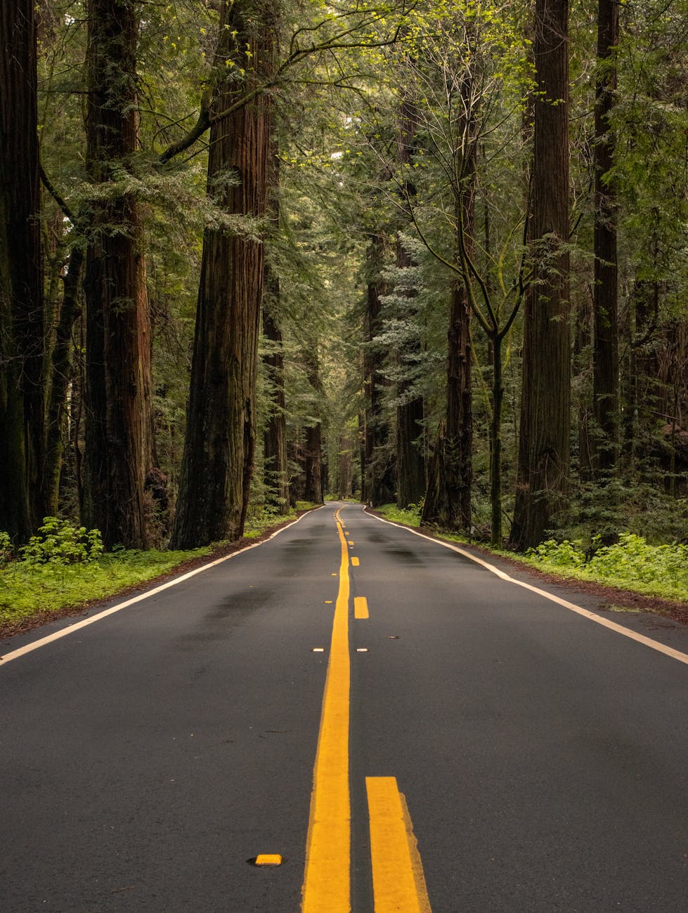
Crossing into Northern California, the landscape transforms dramatically as the highway winds through majestic, awe-inspiring redwood forests. Here, you can camp beneath towering, three-hundred-foot ancient trees and spot migrating whales along the quiet shoreline. The journey reaches a major milestone as it crosses the famous Golden Gate Bridge into San Francisco. Continuing south, Central California unveils the dramatic beauty of Big Sur, where sheer mountains meet the crashing ocean. This remote, ninety-mile stretch is famous for its stunning cliffside vistas, historic bridges, and peaceful hiking trails leading to secluded waterfalls.
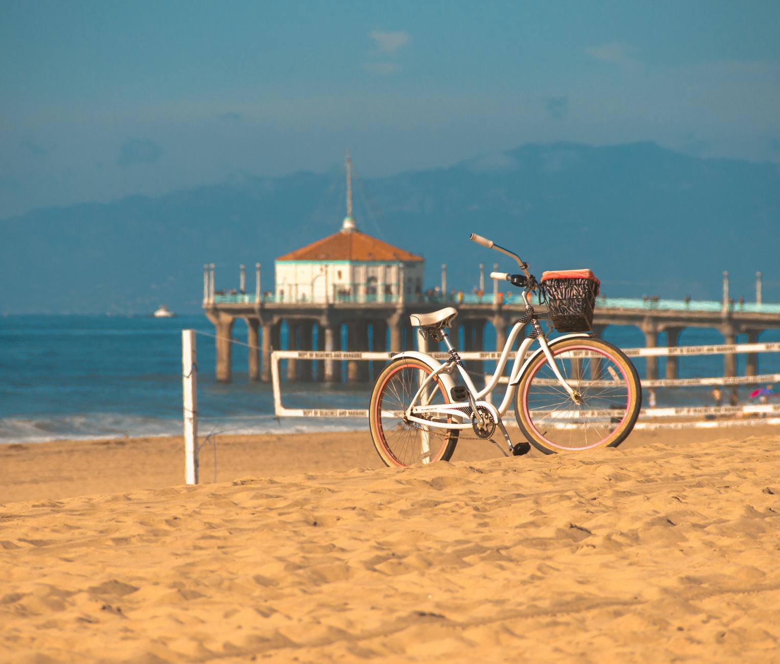
As the route transitions into Southern California, the atmosphere shifts to a relaxed, vibrant beach culture. Traveling through Santa Barbara, Malibu, and Los Angeles, the highway passes iconic surf spots, historic landmarks, and lively boardwalks. Visitors can explore opulent attractions like Hearst Castle or simply enjoy the warm coastal breezes. The climate becomes noticeably warmer and sunnier as the journey continues through Orange County and concludes in the laid-back coastal communities of San Diego, offering a perfect blend of natural beauty and urban energy.
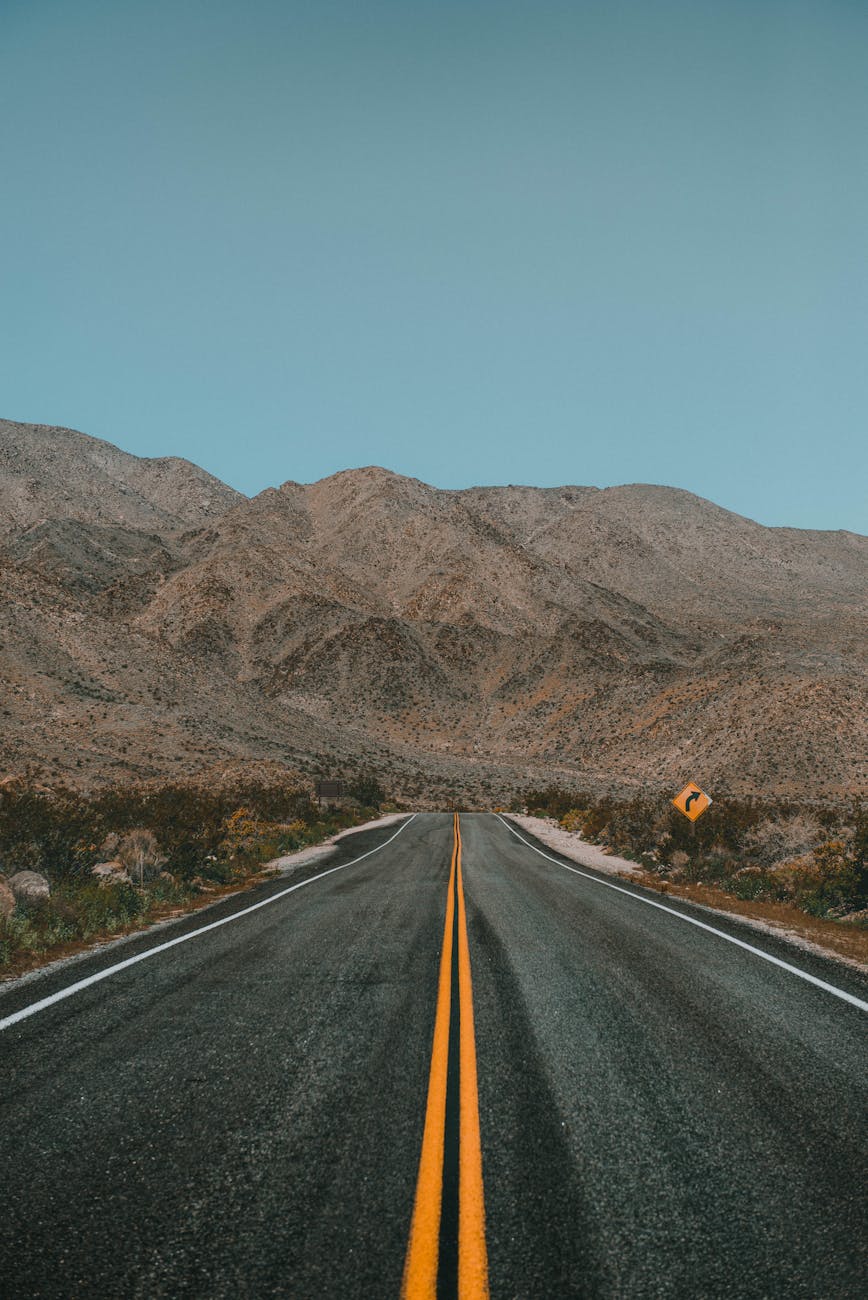
Proper planning ensures a smooth and enjoyable road trip along this remarkable highway. Travelers should be mindful of fuel stops, particularly in remote areas like Big Sur where gas stations are exceptionally sparse. The peak summer season offers dry weather but can bring coastal fog, while spring and fall provide mild temperatures and smaller crowds. Cell service can be unpredictable in rural sections, making offline maps absolutely essential for safe navigation. With a variety of lodging options ranging from primitive beach campsites to well-equipped state parks, the Pacific Coast Highway effortlessly caters to diverse budgets and travel styles. This unforgettable route perfectly blends outdoor adventure with charming local culture, promising incredible memories that will last a lifetime.
Important Topics To Know